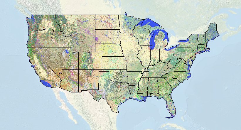
我一直想知道如何找到正確的術語用於土地覆蓋給定區域. 通常, 我只是一個大概沿東西線 “柞小榭樹”. But now I can use this awesome new map brought to us by the USGS/National Biological Information Infrastructure. 詳細程度是驚人的, and you can specify the degree of accuracy with a drop down tab (1-3). Now with a high-def US topo map I can see exactly where the largest stands of monterrey pine are (actually it’s a California Coastal Closed-Cone Conifer Forest and Woodland) so I can optimally place my trap this weekend.
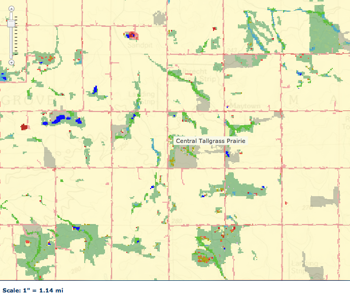
This map also makes me pretty sad – If you go over to my home state of Illinois – time yourself on how long it takes to find one pixel of “central tallgrass prairie” After a few minutes of looking for a site I knew, I finally found it. The vast expanse of light tan is cropland… and of course the prairie color is an off-shade of tan that makes it nearly impossible to see. 但, there it is, 4 pixels of prairie just to the left of that label and near the tiny red dot.


Very cool tool. 是的, it is depressing to visualize how small and isolated our grassland remnants truly are. I’m not sure what the figure is for Missouri, but in Illinois I believe only 7/10 的 1% of the original prairie community remains. This was the whole reason for my essay of a couple weeks ago about the lack of consideration given to invertebrates in prescribed burn management plans for our remnants here in Missouri (and which seems to have angered some of our local DNR folks).
It drives me nuts how personal some DNR/FWS/NPS/FS rangers can take legit criticism of their management practices. We have lots of anecdotal and some quantitative evidence that shows repetitive burning is probably bad for inverts – but it pisses off some park ranger who thinks they are conservation’s divine savior.
我, along with a few others, had petitioned to stop roadside mowing in a few parks/reserves back east. I don’t have a problem with a little strip of cut grass for cars…but I’m sure you know how ridiculous it can get. Especially when they mow 4-5 huge tractor widths back from the pavement. When we have only .001% of prairie left, mowing that tiny strip of native veg is criminal.
The response to our request? A few places stopped…other rangers filed formal complaints to have our research permits revoked.
Yeesh! I guess I should be happy that all they’re doing to me is ignoring my emails. Trying to revoke permits? That’s just petulant!
Fantastic tool! I’m sad the map stops at the northern border, though 🙁